Photo Gallery: BRS Summer Wildlife

This slideshow requires JavaScript.

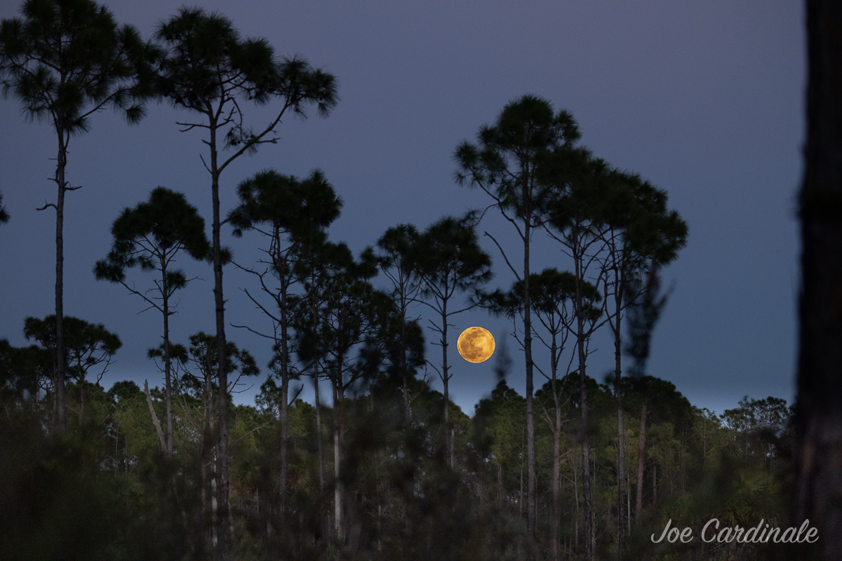
CREW volunteer naturalist George Luther took a photo safari at Bird Rookery Swamp (BRS) on the 4th of July and reported an extraordinary number of Ruddy Daggerwing butterflies and many species of dragonflies. He also spotted deer, kites, and lots of other wildlife active on the trails. (See his photo gallery above)

The water levels are rising rapidly with the recent rains, which sheet flow into Bird Rookery from the CREW headwaters – the Corkscrew Marsh in the northeast – and through Audubon’s Corkscrew Swamp Sanctuary.

If you haven’t yet ventured to a CREW trail this summer, come visit. It is a remarkable time to be out in the woods, marshes, and swamps.

Enhanced by Zemanta

Swallow-tailed Kite Roost in CREW

Swallow-tailed kite roost

Florida Fish & Wildlife Commission biologist Kathleen Smith shot this photo of a swallow-tailed kite roost in Corkscrew Swamp Sanctuary just over the CREW Bird Rookery Swamp border while doing wading bird survey flights over CREW in June.

Swallow-tailed kites migrate to southwest Florida from South America (Brazil) to nest during our spring/summer seasons. By June, the young are fledging and flying with the adults in preparation for their journey back to South America in August. Here, you can count as many as 19 birds roosting together on one tree with a few others scattered in nearby trees.

The Corkscrew Regional Ecosystem Watershed (CREW) provides critical habitat for this at-risk species. Your support of CREW and other conservation organizations that protect habitat helps species like these kites survive.

Learn more from Audubon’s WatchList

Enhanced by Zemanta

Gulfshore Life Magazine Highlights CREW Volunteer George Luther

Back in May, we told you CREW volunteer, George Luther had received a Paradise Coast/Collier County Tourism Award for his Nature’s Peace at CREW program for Alzheimer patients and their caregivers.

Now – in its July issue – Gulfshore Life Magazine has published an article entitled Here & Now: Heroes without Headlines highlighting some of those winners, and George is featured in the article and on their website. So pick up a copy and read all about him and this amazing program he designed.

George Luther Gulfshore Life
George Luther photo by Gulfshore Life Magazine

Congratulations again, George! Thanks for all you do for CREW.

10K Trail Run – October 26, 2013

Runners & Walkers: Join us for this 2nd annual no frills, back to nature, trail run at the CREW Cypress Dome Trail and Caracara Prairie Preserve.

No shirt, no fee (that means it’s FREE!), no whining, BUT lots of great CREW trails and fun.

8:00 start for 10K
8:10 start for 1-Mile Fun Run

This is a “cupless” run, but there will be one water refill station. Refreshments afterwards will accompany the tales of the trail.

Register here http://crew10k2013.eventbrite.com/ (Donations to the CREW Trust are greatly appreciated – online or on race day)

The CREW Cypress Dome and Caracara Prairie Preserve trails are primitive, rugged trails through pine flatwoods, popash slough, along marsh edges, in cattle pasture, and through oak hammocks. They vary from relatively flat grassy trails to narrow, root-filled curvy trails, to seasonally wet and muddy trails. This race goes across a drainage ditch as well. It’s adventure all the way!

For more information: philnissen@yahoo.com

Be sure to thank the good folks over at Run Florida on McGregor for being our official sponsor of this run.

run florida logo

Flint Pen Strand

Cypress trees in Flint Pen StrandFlint Pen Strand and Southern Critical CREW are the Lee County portions of the CREW project, located north of Bonita Beach Road (east of I-75) and south of Corkscrew Road.

This portion of CREW currently has no officially marked trails and no recreation facilities, except for a hunter check station located at Poor Man’s Pass. The South Florida Water Management District is still working on restoration of sheet flow and exotic species control and removal here. Recreation plans are forthcoming, and include hiking trails, horseback riding, and campsites. Currently, hunting is allowed in part of Flint Pen Strand under the Florida Fish and Wildlife Commission’s regulations for the CREW WEA (Wildlife & Environmental Area).

The whole CREW project map

As the restoration process progresses, we will keep you  posted on recreation plans s they become available…

CREW Bird Rookery Swamp Trail

Physical Address: 1295 Shady Hollow Boulevard, Naples, FL 34120

Hours: One hour before sunrise to one hour after sunset

Trails/Facilities: Free – donations accepted, Open to public

Trail Information

The Bird Rookery Swamp Trail officially opened in July 2011. The Bird Rookery Swamp Trail offers 12 miles of hiking and biking trails, including a 1500-ft. boardwalk with wheelchair accessibility. A 1/4-mile crushed shell path leads to a 1500-ft. boardwalk, then the trails become ground level, sandy/grassy, relatively flat berms with swamp on both sides. The trails are actually old tram roads used when the area was logged many years ago. Biking can be a challenge on the grassy/sandy trails, but quite rewarding. The maple-cypress swamp is home to alligators, otters, Florida panthers, bobcats, white-tailed deer and more. There is one portable toilet at the beginning of the boardwalk and several benches along the trail within the first 1.5 miles. Beyond that there are no structures.

Birders will delight in the abundance of songbirds that frequent the cypress trees along the boardwalk, as well as the many raptors and wading birds found along the trails. Barred owls are common and swallow-tailed kites frequent the area in summer.

Trail Map

 Activities:

  • Hiking
  • Biking
  • Nature study/photography
  • Geocaching
  • Birding
  • Running

The walking of dogs along this trail is not recommended.

Directions:

 From Fort Myers/Naples: From I-75, take exit 111 and turn east (away from Naples) on Immokalee Road (CR 846). Travel 11.4 miles and turn left onto Shady Hollow Blvd. (One mile past the Oil Well Rd stoplight – Shady Hollow is where Immokalee Rd goes from 4-lane to 2-lane). Go to the end of Shady Hollow (approx 2.4 miles). Parking lot is on the right.

From Immokalee: Travel west (toward Naples) on CR 846 (Immokalee Road) for approx. 16.5 miles. Turn right on Shady Hollow Blvd. Travel 2.4 miles north to parking area/gate.

Google Map to Bird Rookery Swamp Trails: http://goo.gl/maps/9tSNd

Go back to the Visit CREW page.

What you need to know about the Purple Trail

Click for a PDF copy of this map

CREW Cypress Dome Trails & Caracara Prairie Preserve

Physical Address: 3980 CR 850 (Corkscrew Road), Immokalee, FL 34142

Hours: One hour before sunrise to one hour after sunset

Trails/Facilities: Free – donations accepted, Open to public

The CREW Cypress Dome Trails (also known as Gate 5) offer six miles of well-marked loop trails through pine flatwoods, oak hammocks, wet prairie, popash slough, and two beautiful cypress domes. Trails are flat grass/sand ground level and seasonally wet in low spots.

This trail also connects to Caracara Prairie Preserve which is owned and maintained by Conservation Collier. For their main website click here.

Trail maps are located at the trailhead. One port-a-potty is available near the trailhead. No buildings or running water. No trash cans. Benches are located along trails, picnic tables are in and near the campsite.

Click here to download a self-guided trail tour guide (2015)

Activities:

Directions:

From Naples/Bonita Springs/S. Fort Myers – Travel I-75 N to exit 123 (Corkscrew Rd.). Travel 14 miles east on Corkscrew Rd. The Cypress Dome Trails will be on your right just past a big curve to the left (north). Look for the brown trail signs.

From N Ft. Myers/Charlotte Co./Lehigh Acres: Travel I-75 to exit 138 (the ML King/S.R. 82 exit). Turn left (east) off the ramp. Travel 20 miles toward Immokalee (east) on S.R. 82. Turn right on C.R. 850 (Corkscrew Rd.). You will pass the CREW Marsh Trails at the 2-mile mark. Continue for 4 more miles. The Cypress Dome Trails will be on your left. Look for the brown road signs.

Google Map to CREW Cypress Dome Trails: http://goo.gl/maps/VMeEg

Go back to Visit CREW page.