


Physical Address: 15970 Bonita Beach Road, Bonita Springs, FL 34135
Hours: One hour before sunrise to one hour after sunset
Trails/Facilities: Free – donations appreciated, Open to public
Click to Download: CREW FPS Trail Map
Map created by CREW Trust volunteer Wendy Richardson
Activities:
- Hiking
- Biking
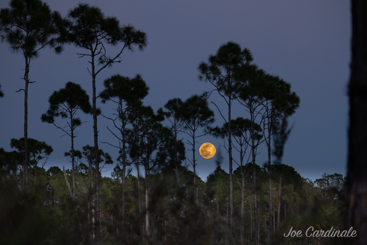
- Nature study/photography
- Birding
- Running
- Horseback Riding (with Special Use License from SFWMD)
- Hunting (see myFWC.com for more information)
*There are private properties near the CREW Flint Pen Strand Hiking Trails. The public should remain on marked trails and not enter areas marked as private property.
From Fort Myers: From I-75 S, take exit 116 and turn east on Bonita Beach Road. Travel approximately 3.8 miles and turn left onto Vincent Road. The trail head and main parking lot are on the left. Continue further down Vincent Road and make your first right for the Pine parking lot. A third parking option may be reached by making an immediate right after turning left off of Bonita Beach Road.
From Naples: From I-75 N, take exit 116 and turn east on Bonita Beach Road. Travel approximately 3.8 miles and turn left onto Vincent Road. The trail head and main parking lot are on the left. Continue further down Vincent Road and make your first right for the Pine parking lot. A third parking option may be reached by making an immediate right after turning left off of Bonita Beach Road.
Do you have a schedule of events you need volunteers for ? Please forward.
You can apply for a position as a volunteer for the CREW Trust by filling out an application (available on our website on our volunteer page).
Are there any planned guided walks/hikes at Flint Pen Strand Trail for Jan., Feb., and March 2019? Thanks in advance. Sue
Not at this time. We anticipate offering programs to the public next season.
The hike is described as challenging . Can you explain? Flint Pen
The trail is not flat and wide like the Marsh Trails or Bird Rookery Swamp. There is some elevation change, lots of twists and turns, some areas with cypress knees and roots you need to step over.
To assist newcomers to Flint Pen Strand I suggest the following:
1. Clearly identify the parking areas with signs – Lake, Pinewoods Main
2. The color on Orange Trail posts could be mistaken for red – a more orange paint should be used.
3. The Orange Trail near the lake could be better marked.
4. On the maps at the various parking lots, add
YOU ARE HERE” to the maps.
What is buried (black wrought iron cross) on the equestrian trail? Thank you..
My wife and I signed up for the walk on 2-4-21 at 9 AM. We drove up 75N and got off going east at exit 116. We drove up and down Bonita Beach Rd looking for “Vincent”. Never could see it. Had to call and cancel our walk at the last minute. You need better markings for where to turn of of B.B. Rd onto Vincent.
Is fishing allowed at Flint Pen Strand?
Thank you
Enjoyed our first walk on red trail today. Kudos to Trail Gnomes for excellent markings and well groomed trail!
We were wondering what caused all the dead trees?
Which one is best for biking
Biking is allowed at the CREW Flint Pen Strand, CREW Bird Rookery Swamp, and CREW Cypress Dome trails.
Are the paths good for biking? I read a comment that you really need to have fat tires to ride in these paths.
There are places where you will be MUCH better off with at least 2-inch tires. Fat tires are great for the sugar-sand sections, but are passable with a 2-inch tire too. Some of the tight and windy cypress grove sections are difficult to maneuver with a fat tire bike. Regardless, it’s a challenging and rewarding ride for the long distance off-road biker!
Say it is across from the fire station.
Can you set up a blind for strictly photography purposes?
Would you please send us a photo of what you’re thinking. This is the first time we’ve been asked about this and I would need to run it by our Florida Fish and Wildlife Conservation Commission Biologists. You can email me at crewtrust@crewtrust.org.
Thanks for asking!